Acigné discovery walk : traces of the past in the village
1 septembre 2024
A short walk through the historical centre of Acigné, to be followed as you go along on your smartphone (translated by Françoise Contin).
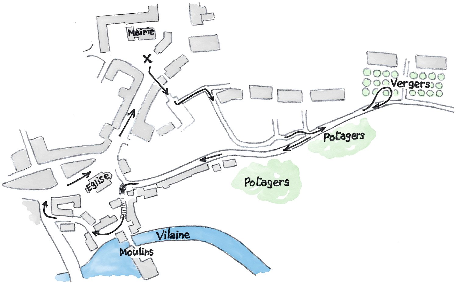
This guide starts in front of the town hall, in the Clouères area.
The tour of the town centre. Starting from the town hall, follow the arrows
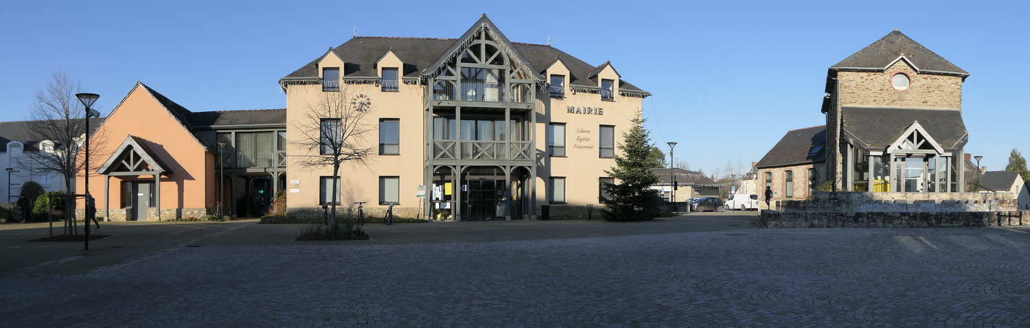
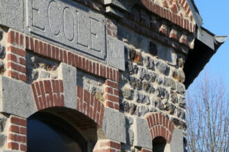
Place de la Mairie. (Town hall square). Being close to the forest, Acigné was a town of joiners, sawyers and timber merchants. The wooden framework on the front of the new town hall, built in 1989, is a reminder of this past. On the right, the old town hall and adjoining school were built in 1892.
Take a look at the rows of houses to the south-east of the square.
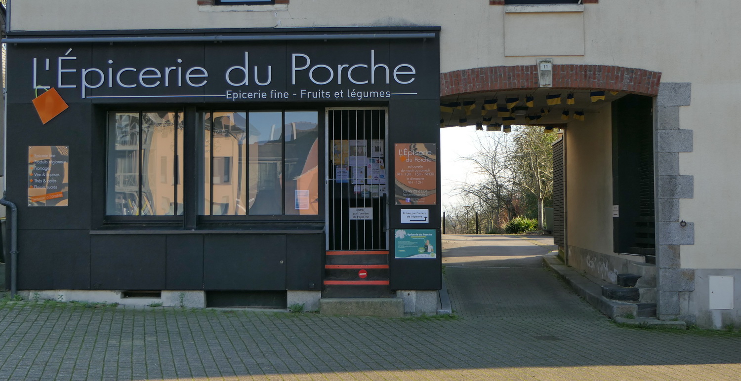
This was once a neighbourhood of craftsmen and farmers. Note the two porches that cross the rows of houses in Les Clouères. These were used as passages for carts and cattle.
Pass under the porch of the grocer’s shop, turn left and then right, and walk down the lane to the family gardens.
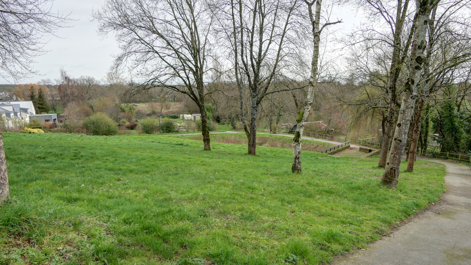
Behind the houses and buildings, greenery. Far away, the Vilaine valley is subject to flooding, making it a nature reserve that can’t be built on.
Continue downhill.
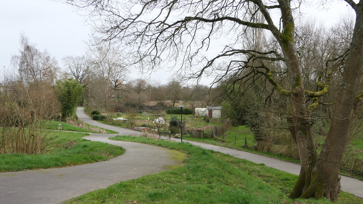
The valley alternates between vegetable gardens, woods, marshes and orchards.
At the bottom of the path, you can continue slightly to the left (towards the east), to enjoy the countryside on the edge of the town.
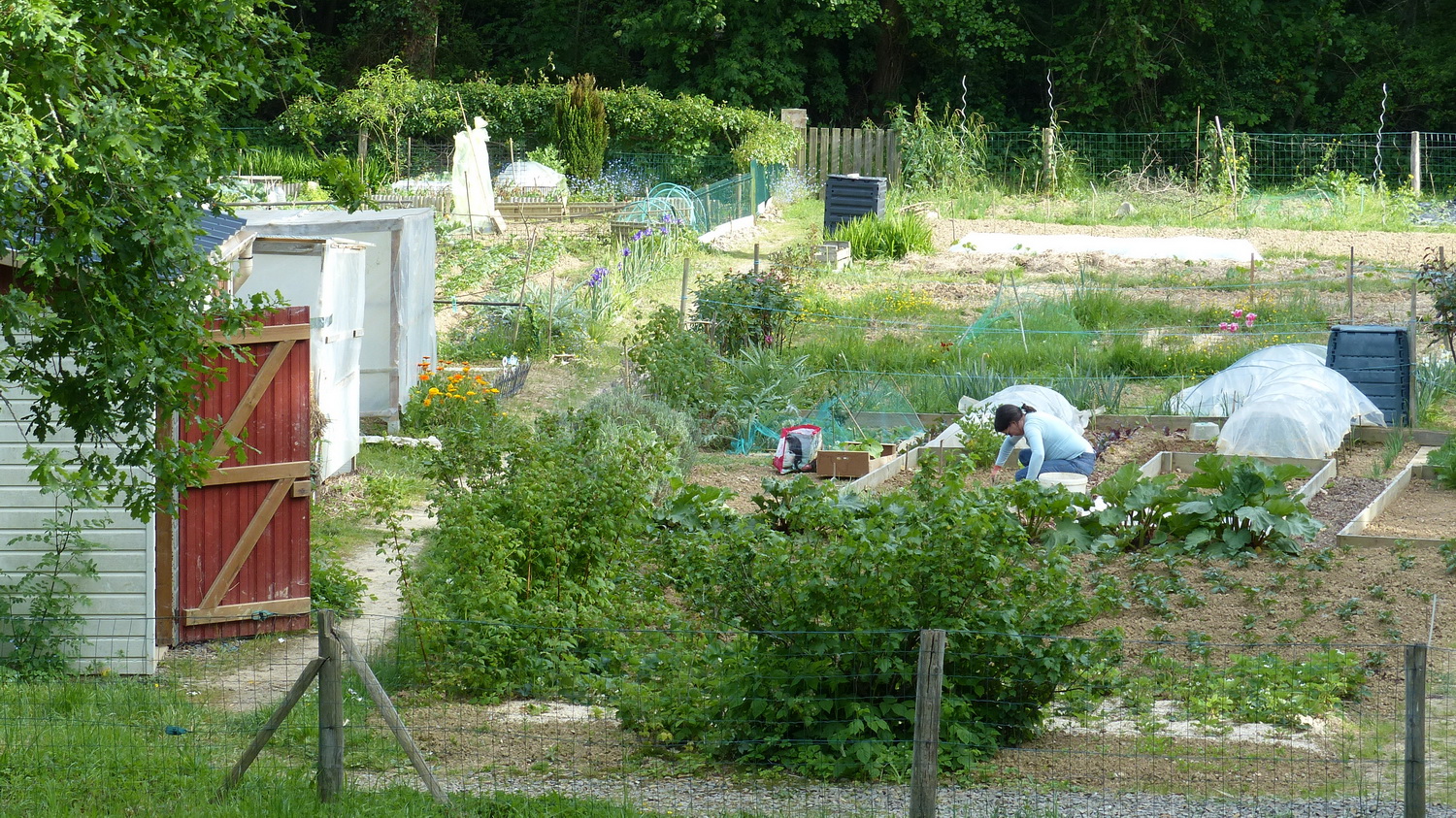
Family gardens. These communal plots are made available to private individuals to grow vegetables.
Continue along the path and you’ll discover apple orchards.
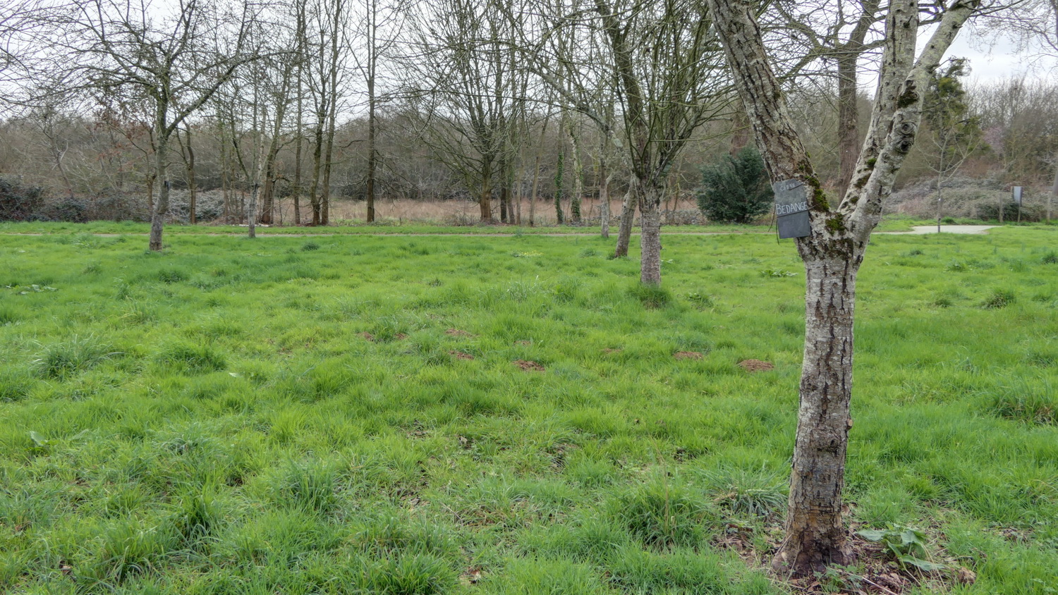
Communal orchards. These meadows have been planted with cider and knife apple trees. Acigné, and the Ille-et-Vilaine department in general, were major cider producers until the 1950s. There were 235 different varieties of apple trees. These communal orchards preserve the varieties, whose names are indicated on the slates attached to the trunks. In the background, the marsh, often flooded in winter.
This wetland, known as the Marais de la Motte, is home to protected plants and animals such as the amphibian vole (body about 20 cm long and a tail a dozen long).
Turn back and continue straight eastwards to reach the town via Rue des Roches, at the bottom of the village.
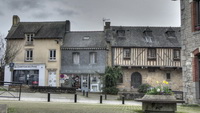
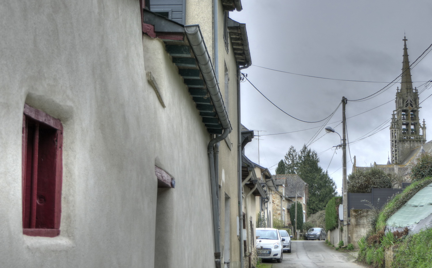
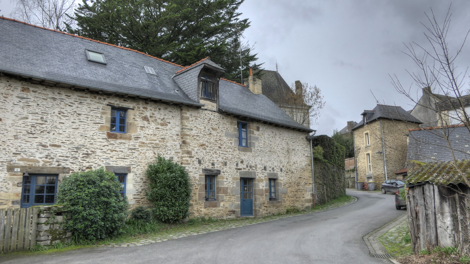
Rue des Roches. The small barred windows framed in wood (as shown here on the left) were often those of small stables. The house at number 8, with its ogival doorway, belonged to a former tanner. Tanning was an important craft in Acigné until the 18th century.
At the foot of the church, take the left-hand staircase down to the mills
The stairway is at the foot of the wall on the left. This wall supported the cemetery that surrounded the old church. The present church dates from 1904, then the cemetery was moved.
Go down the stairs.
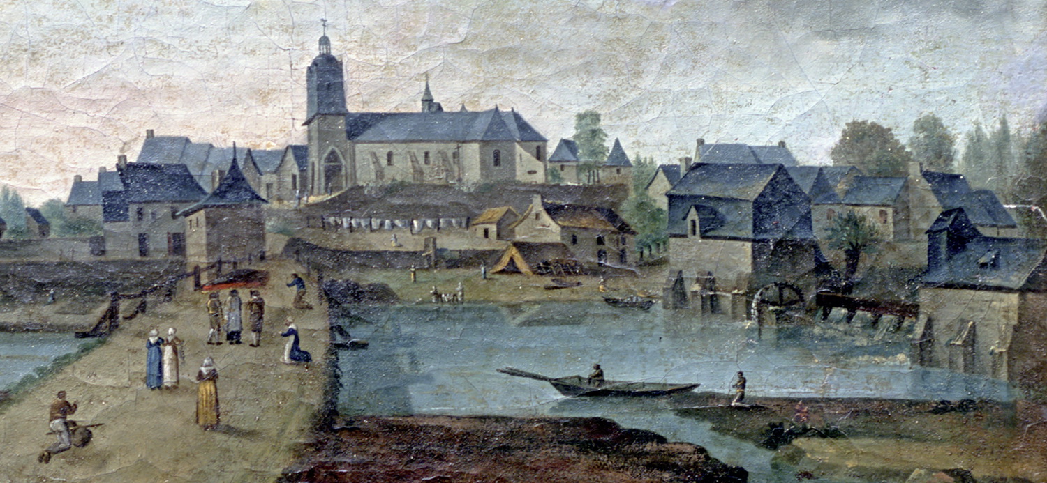
View of Acigné (painted in 1814). This view from the other bank is very realistic. On the right, the two mills have been replaced by more recent buildings, but still on the same sites. In the centre, beneath the old church, the mill yard was a gently sloping bank leading down to the river. The former wooden bridge ran between the present-day bridge and the mills, leading into the mill courtyard, just in front of the house that still stands today.
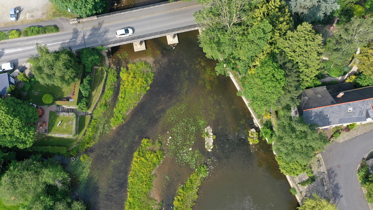
Traces of the old bridge. When the Vilaine is not too high, two piers from the old bridge can be seen in the riverbed. The abutment of the old bridge is clearly visible on the other bank, serving as a terrace for the restaurant. It was replaced by the new bridge in 1889.
Go back up the rue Saint-Julien.
The old bridge was accessed via rue Saint-Julien. At number 4, this was the house of the chaplain of an old hospital that disappeared in the 16th century and stood on the site of the beautiful 19th-century house further up the street, on the left.
At the top of rue Saint-Julien, you come to rue du Pont Neuf which, as its name suggests, leads to the new bridge built at the end of the 19th century.
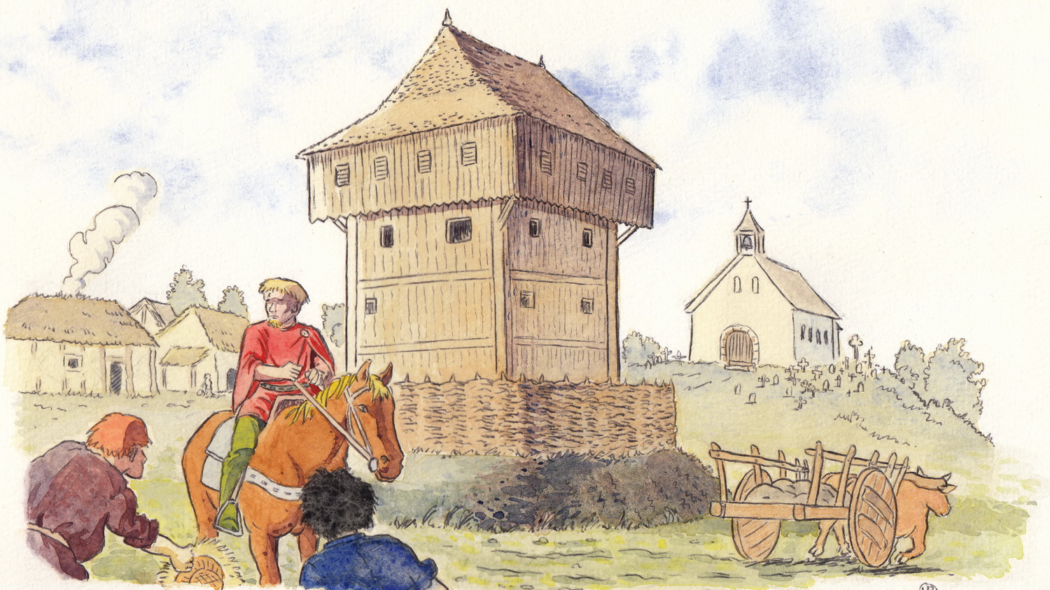
The first residence of the Lord of Acigné. Imagine yourself in the early days of feudalism, in the 11th century. The first lord settled here, close to the church and its cemetery, in order to control it and the road that ran through the parish. Later, the lords built another castle to the east of the village, near the present-day Motte farm, which owes its name to this feudal mound. Very little remains of this second castle and its dependencies.
Turn right towards the church.
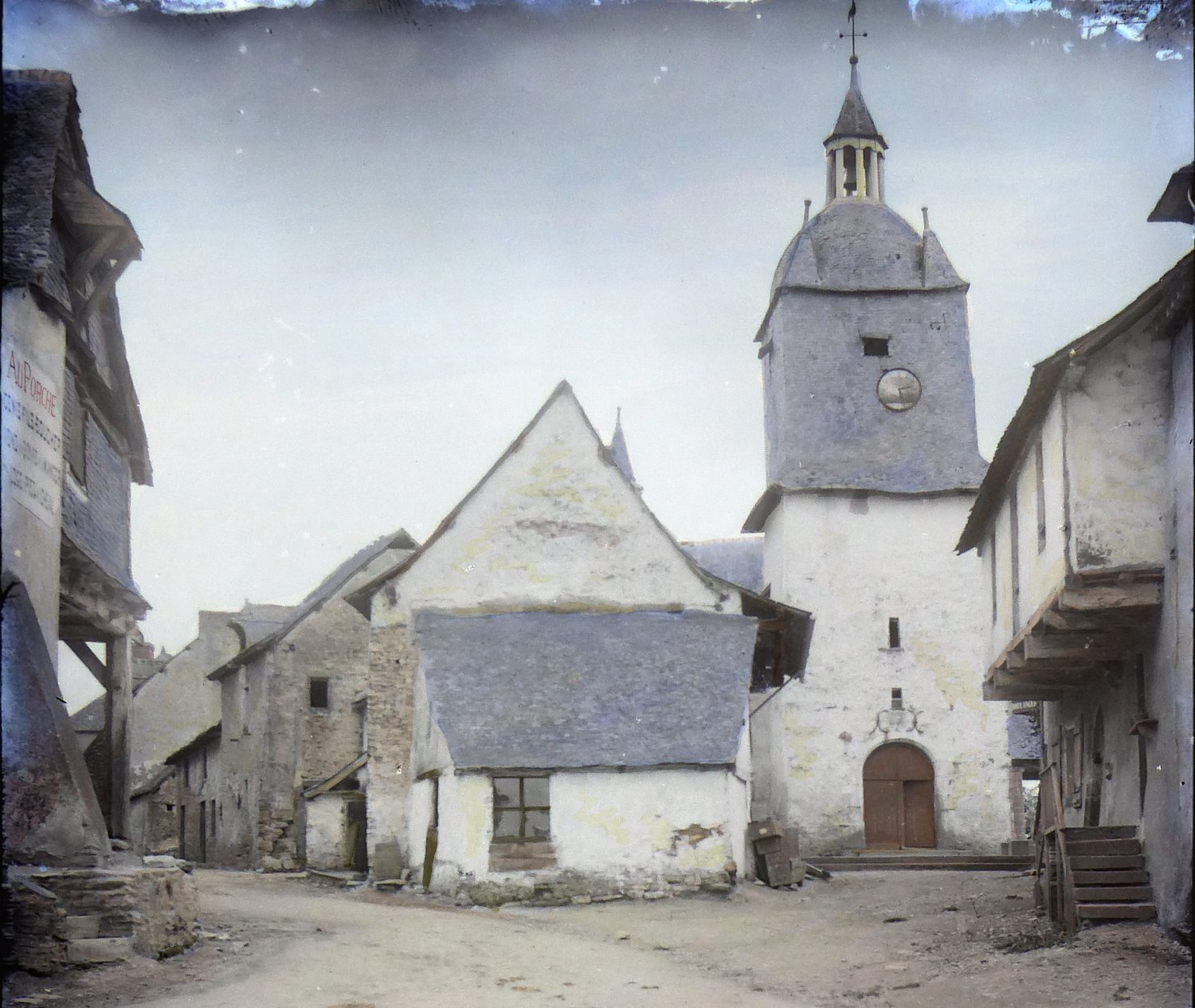
The old church at the end of the 19th century. Only the half-timbered house on the right remains. The new church was built on the site of the old one. The row of houses in the centre was demolished to make way for the road.
Continue gradually up the rue Saint-Louis.
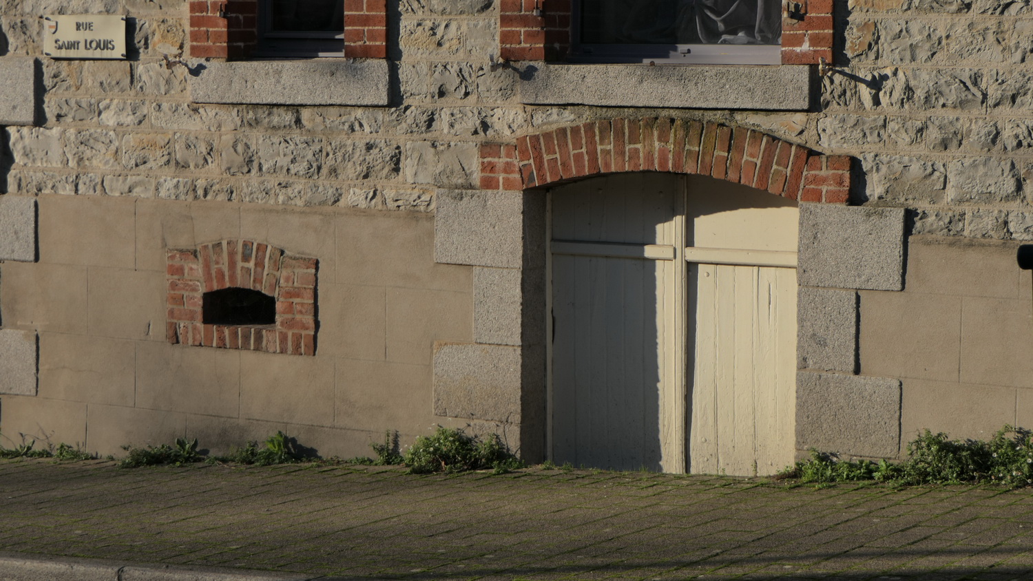
Entrances to cellars and storerooms. You will find in the village many entrances of this type, which were once preceded by staircases. They were used to keep barrels of cider, the favourite drink of the inhabitants
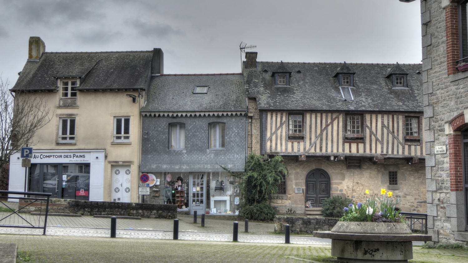
The 16th-century house from the Place des Halles. With its half-timbering, it is the oldest house in the village.
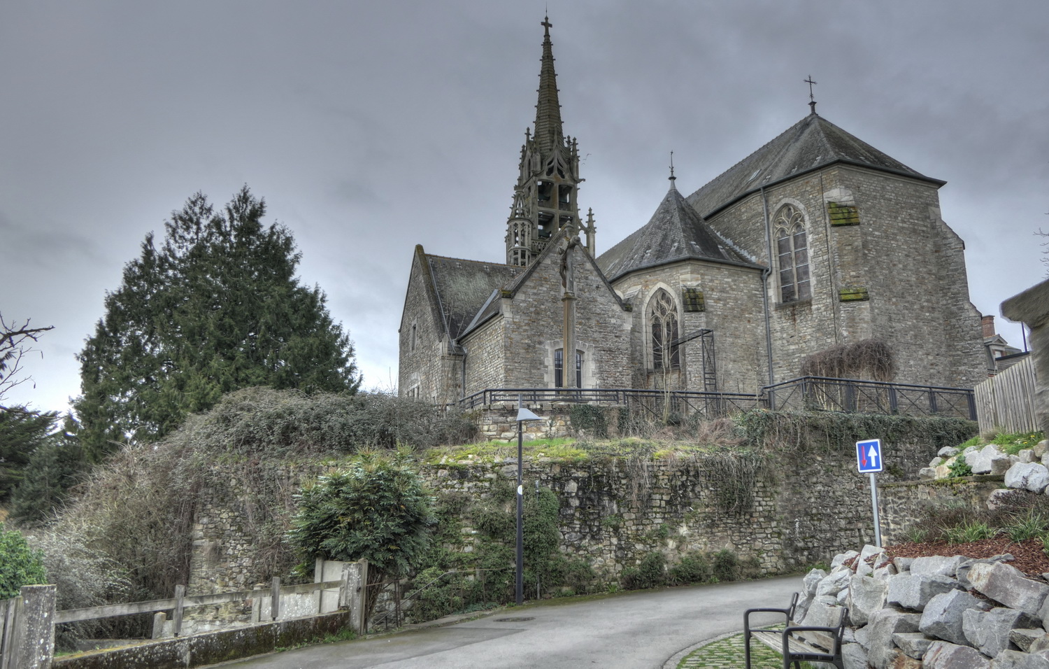
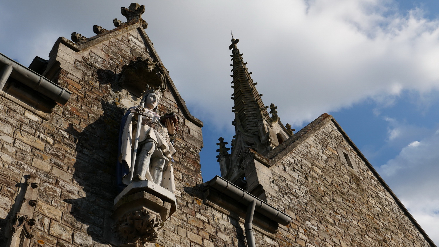
The new chruch. The pretty openwork bell tower is inspired by the churches of Finistère, at the extreme tip of Brittany. Saint-Louis was honoured in Acigné, as the lords of Acigné and this French king were often allies. He gave his name to the street, and Saint-Louis Day was the main local festival.
Continue up the street.
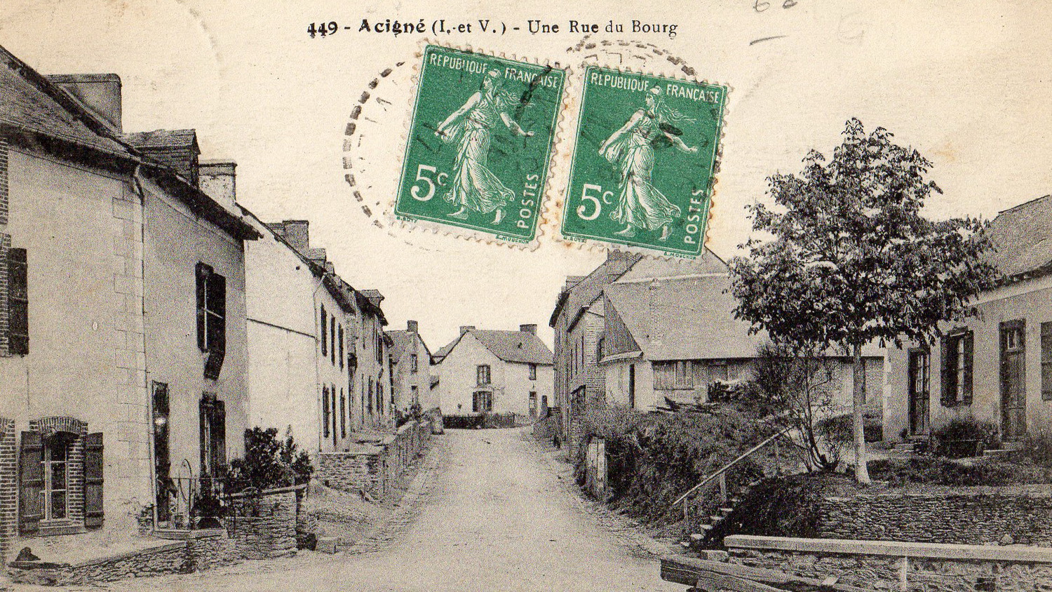
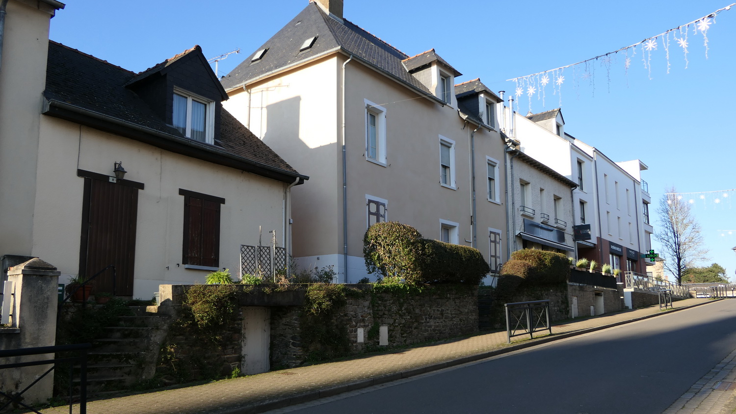
Rue de Calais. This is the main street. The left-hand side of the street has hardly changed, whereas the buildings on the right-hand side have been completely renewed in recent years. At the far end, the houses have also disappeared to make way for the Place des Clouères and the Town Hall.
Go up the rue de Calais.
The house belonging to the Qu’Âtre restaurant has a fireplace dating back to 1574. The semi-buried entrances gave access to cellars and probably also to weavers’ workshops. This activity required constant humidity.
Now you’re back where you started, near the town hall.
Nous utilisons des cookies pour vous garantir la meilleure expérience sur notre site. Si vous continuez à utiliser ce dernier, nous considérerons que vous acceptez l'utilisation des cookies.